PHOTO
The winter woolies came back out of the cupboards on what was officially the first day of summer in Forbes, with an official morning low of just 6.2 degrees recorded at the airport.
But don’t put off cleaning the pool because the temperature is expected to reach 39 degrees this Friday and Saturday.
On Monday 1 December the Bureau’s Forbes airport weather station recorded a top temperature of 21.2 degrees but the wind was in the west to south west, shifting to the south west, gusting up to 57km/hr in the afternoon.
Temperatures dipped back into the single digits Monday and Tuesday mornings, but are expected to remain above 20 degrees by Saturday morning.
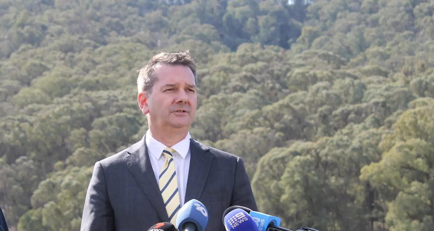
These wild temperature swings show the central west is still in a Spring time weather pattern, explained forecaster Jonathan How from the Bureau of Meteorology.
“Even though we have technically ticked over to summer, the weather doesn’t always follow the calendar months,” he said.
“This cold front that swept through overnight (Monday night) is something you’d more typically see in the middle of spring so it’s just a little bit of a hangover from spring.
“It’s still very cold in the south of the country, at the same time the interior is heating up.
“You’ve got very strong temperature contrasts just to the south of us and just to the north.
“Any time the wind swings from either direction you get those big changes.”
The windy conditions are also typical of spring and also connected to those temperature extremes to the north and south of us.
“The stronger the temperature gradient, the stronger the pressure gradient, the stronger the pressure gradient the stronger the wind,” Mr How said.
“It’s all connected.
“Northern Australia’s had some pretty hot weather lately but Victoria and Tasmania have been quite cool.
“It’s set up quite a strong temperature gradient and NSW is right smack bang in the middle of it.”
Looking ahead, winds were forecast to lighten on Wednesday as the Advocate prepared for press, and shift to the west and north west on Thursday.
Another cooler change is forecast to come through after Saturday’s 39 degree peak, with a top of 28 degrees forecast for Sunday, but from there it could warm up again.
“The preliminary model is showing another heat wave building into late next week, so it’s very classic summer heat pattern,” Mr How said.
While we're heading in to summer storm season and have already experienced some of that, there isn't much in the way of widespread rain in the forecast.
Last week’s wild weather conditions saw storms across the region – dry lightning sparking a fire that burnt out more than 800 hectares north of Parkes while there were some isolated heavy downpours in areas including Canowindra and Quandialla.
“The models are also suggesting a little bit of uptick in rainfall heading into the second half of the month but overall December is looking to be drier than typical in the central west," Mr How said.

